MIDAS system – maps

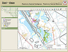
Spatial data for documented deposits (boundaries of deposits, mining areas and mining counties) are presented in the mapping part of the MIDAS system.
The detailed information on the GIS component funcionality of the MIDAS service can be obtained at:Instrukcja użytkowania - część mapowa (only in Polish)
The additional assistance and explanations can be obtained from
the Economic Geology Program of PGI-NRI
phone: : +48 22 45-92-105, e-mail: sekretariat.GZG@pgi.gov.pl
Data in the form of WMS and WFS services

In the form of WMS and WFS services there are available:
-
MIDAS system data (boundaries of deposits, mining areas and mining counties)
-
Deposits crossed out of the domestic balance of mineral resources deposits, for which the data source has been specified.
Thanks to such process, the user is able to view the spatial data in any geoportal or by any software adjusted to the network service.
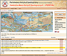
The addresses of WMS and WFS services "Mineral raw materials - mineral deposits, mining areas and mining counties" are published on the website
CBDG - usługi WFS i WMS
Data in the form of SHP files

In the form of SHP files are available:
- MIDAS system data (boundaries of fields, areas and mining areas)
- Deposits crossed out of the domestic balance of mineral resources deposits, for which the data source has been specified.
SHP (shapefile) is a kind of vector graphics file that is developed on an open standard basis, mainly by ESRI). SHP files are read by any GIS software and most CAD applications.
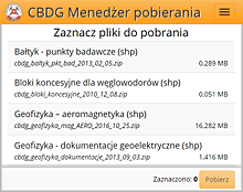
Files described as “Mineral resources – mining areas” (“Surowce – obszary górnicze”), “Mineral resources – mining countries” (“Surowce – tereny górnicze”), “Mineral resources – mineral deposits” (“Surowce – złoża kopalin”) and „Mineral resources – deposits crossed out” ("Surowce - złoża wybilansowane") are published on the website CBDG Download Manager.